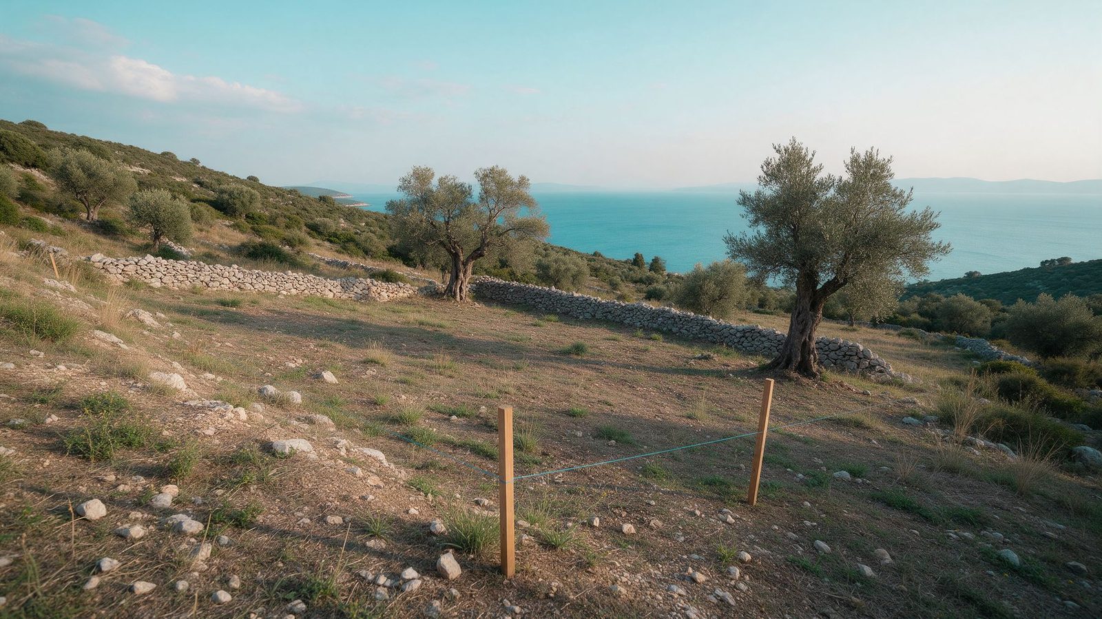
Before you buy land in Kefalonia, check the forest map to see whether all or part of the plot is classified as forest. Land classified as forest cannot be built on, and a sale of forest land on a ratified forest map is void without a certificate from the Forest Directorate. You can check online, and your engineer confirms the result before the preliminary contract.
This guide is general information, not legal advice. For a specific plot, your engineer confirms the classification and your lawyer the legal side. It is part of our guide to buying land in Kefalonia.
What does the forest map show?
The forest map shows the character of the land: whether an area is forest or forest land, grassland, rocky or stony ground, or some other form of land (farmland, for example). It does not show who owns it. Ownership is decided separately, through the title deeds and the Hellenic Cadastre.
Each area on the map carries a two-letter code. The first letter reflects older aerial photos and the second recent ones:
| Code | What it means | What it means for a buyer |
|---|---|---|
| ΑΑ | Other land, then and now | Outside forest law |
| ΔΔ | Forest or forest land, then and now | Forest land |
| ΔΑ | Forest then, other land now (e.g. cleared) | Forest land |
| ΑΔ | Other land then, forest now (e.g. abandoned field) | Forest land, with special rules |
| ΧΧ, ΧΑ, ΑΧ | Grassland in one or both periods | Special status, ask your engineer |
| ΠΔ, ΠΑ, ΠΧ | A final classification act already exists (forest, non-forest, grassland) | The act applies |
| ΑΝ | Declared for reforestation or afforestation | Protected, ask your engineer |
The table is a simplification. What applies to a specific polygon is for your engineer to say, based on the map and any acts that exist for it.
Where does the Kefalonia forest map stand?
The forest map for the whole area of the Kefalonia Forest Directorate was posted on 15 January 2021, and the 2022 list of ratified forest maps includes Kefalonia (Government Gazette Δ΄ 707/2022). The deadline for objections to that posting has passed.
Ratification does not necessarily cover every spot. Sections with pending objections stay outside the ratification until they are decided. So your engineer checks not only the code but also whether that exact spot is ratified.
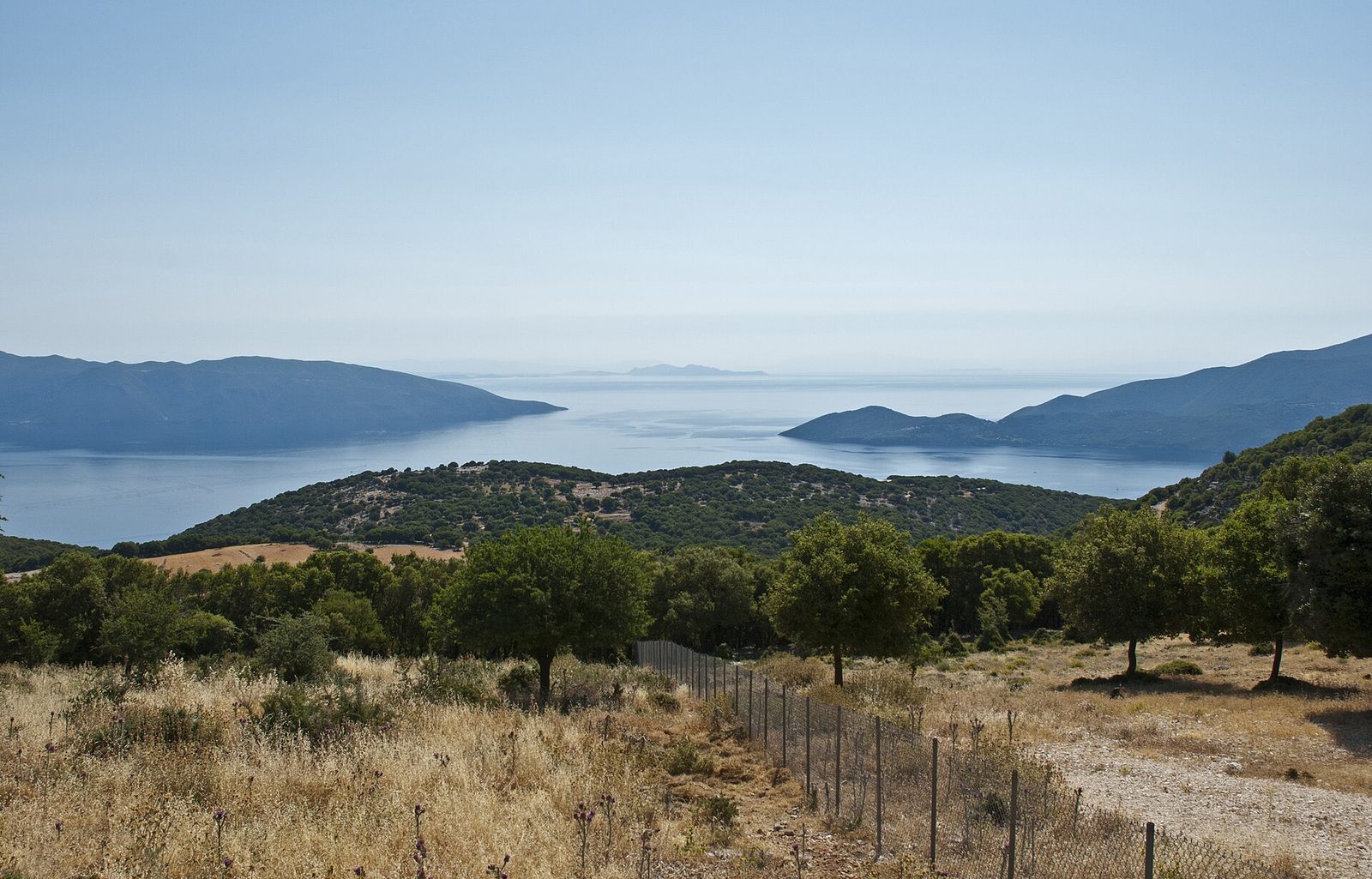
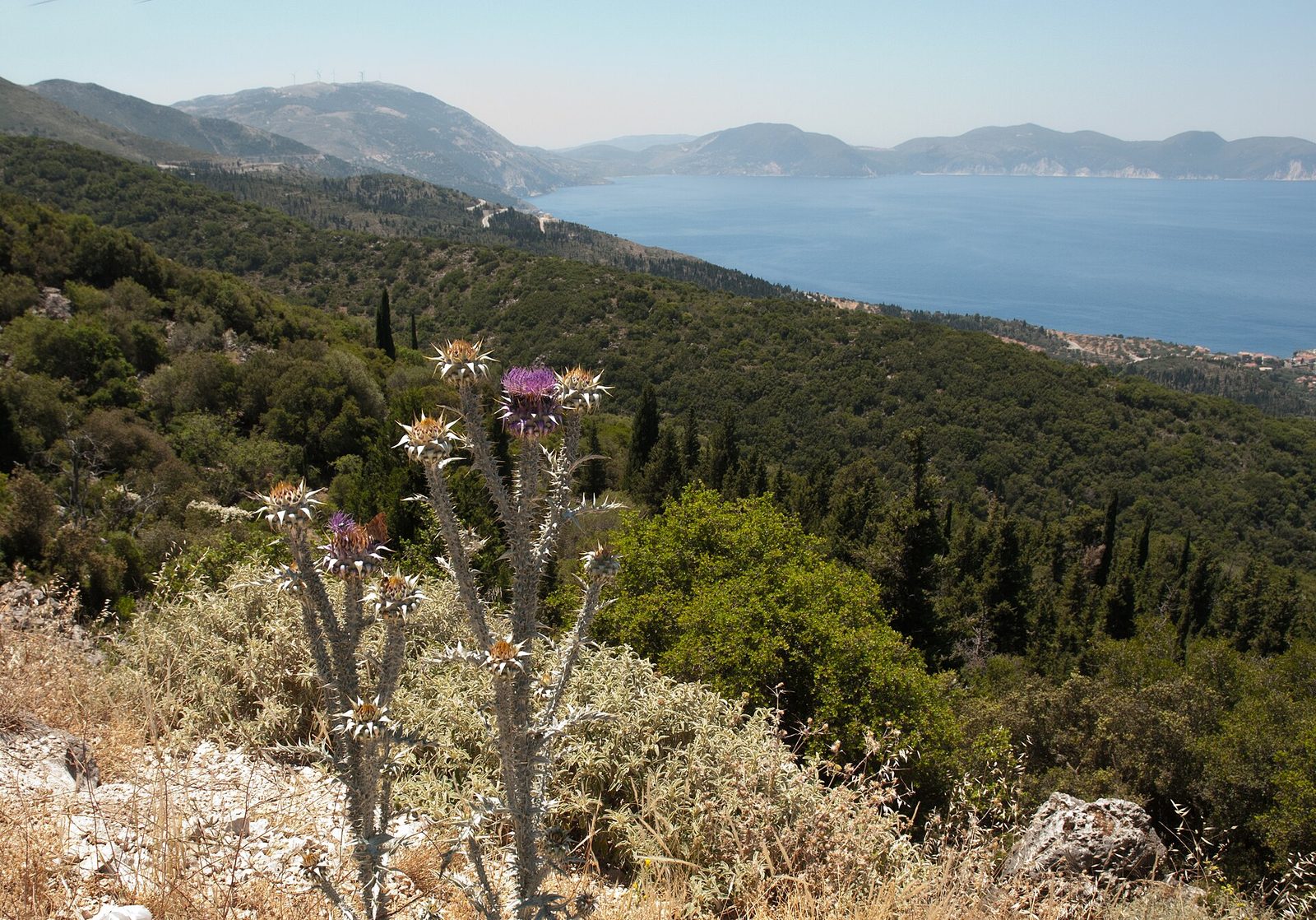
Much of the island is mountainous and green, and Mount Ainos has been a national park since 1962. A sea view from a hillside of scrub and pines is exactly the kind of plot to check before you commit.
How do I check a plot on the forest map?
The map is public on the Hellenic Cadastre's "Forest Maps Posting" service. You find the area by place name or by coordinates, and the "land type information" tool shows the code.
For a first look, the location from the listing is enough. To decide, though, you need the corner coordinates of the plot (in the Greek ΕΓΣΑ 87 system) from a survey plan. At the edge of a polygon, a few metres make the difference. Ask the seller for the survey plan and give it to your engineer.
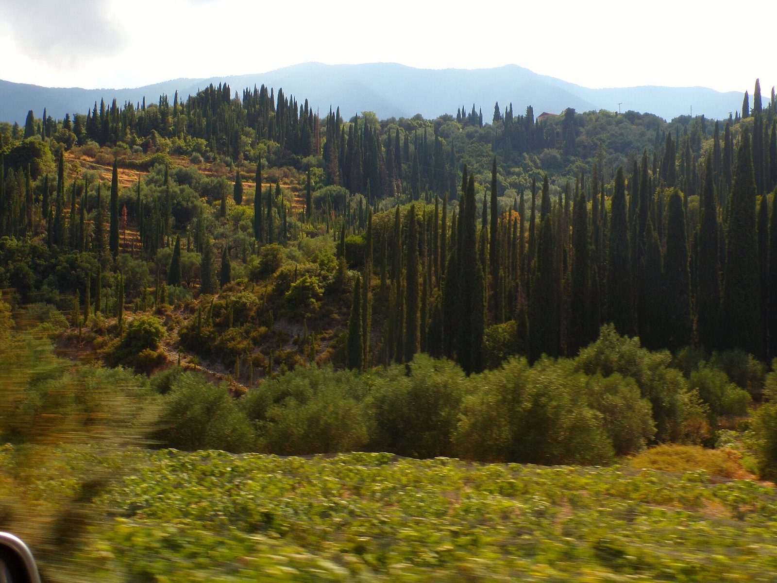
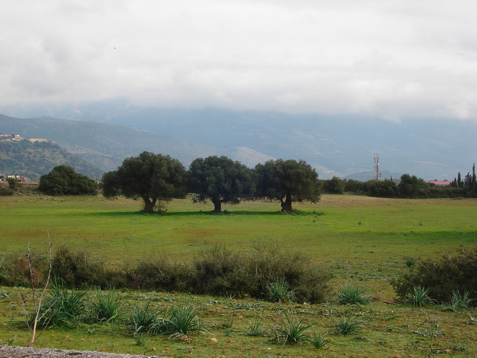
Olives, cypresses and scrub in the same valley: on land like this the forest map shows the character of each piece. Photo: Ilias Byron Ladenis, CC BY-SA 4.0, via Wikimedia Commons.
What papers does the contract need?
This is set by article 20 of Law 3889/2010, last amended by article 93 of Law 5299/2026 (Government Gazette Α΄ 67, 5 May 2026). There are three cases:
- The plot is not forest. The engineer signs a solemn declaration (article 8 of Law 1599/1986) that the property does not fall under forest law. It is written on the survey plan attached to the contract, or on an extract of the forest map showing the property's coordinates.
- The plot is forest on a ratified map. The transfer is void unless it comes with a certificate from the competent Forest Directorate on the character of the land.
- An objection or correction request was accepted, but the map has not yet changed. The contract must attach, on pain of nullity, the decision (with its Diavgeia reference number) and a survey plan in ΕΓΣΑ coordinates, on which the engineer certifies that it is the same property.
The notary must attach these documents and mention them in the deed. Without them, the deed cannot be registered with the Cadastre.
Part of the plot is forest: can I buy only the rest?
This is the most common buyer question. Two rules help:
- Selling only the non-forest part. Article 153 of Law 4819/2021 allows the non-forest part of a property that also has a forest section to be transferred without counting as a subdivision.
- A building permit on the ΑΑ part. A permit can be issued on the section coded ΑΑ, if that section alone meets the minimum size and building conditions.
In practice, measure what is left once you take out the forest part. A 6,000 m² rural plot with 2,500 m² of forest has 3,500 m² net, less than the 4,000 m² that land outside the town plan generally needs. See how that rule works in our guide to inside vs outside the town plan.
Watch the access too. If the only way in from the road crosses a forest strip, a ramp or entrance there falls under forest law. Ask your engineer before the preliminary contract whether access can be solved lawfully.
The objection deadline has passed. Can a map error still be fixed?
Yes, if it is an obvious error. Since Law 4964/2022, even a ratified forest map can be corrected for obvious errors, such as a wrong boundary, a field mapped as forest, or an artificial plantation recorded as natural forest. The request goes to the Forest Directorate, with no filing fee. If it is approved, a new ratification decision is published in the Government Gazette.
New objections to a ratified map are not allowed. And a correction request changes nothing while it is pending.
For a buyer: do not buy on the promise that "it will be corrected". If the seller has applied, ask for it to be completed before the final contract, or have your lawyer make approval a condition in the preliminary contract.
Who does the check, and when?
Your engineer, before the preliminary contract. They check the code, whether the spot is ratified, whether there are classification acts or committee decisions, and how much net area is left. Your lawyer checks the title deeds, because the forest map does not answer who owns the land. The notary attaches the documents to the deed. More on each role in our guide to the professionals you need.
The plots on our page of land for sale in Kefalonia are listings. Your own engineer confirms the forest status of each plot. PlotX charges a 1% platform fee, paid by the buyer only.
Frequently asked questions
Does the forest map show who owns the land? No. It shows only the character of the land. Ownership is decided by the title deeds and the Cadastre.
Can land classified as forest be built on? No. If the plot also has a non-forest section, a permit can be issued only there, provided that section alone meets the minimum size.
How much does a request to correct an obvious error cost? There is no filing fee. You do pay the engineer for the file (survey plan, coordinates, technical report).
What if there is already a house on forest land? There is a special scheme for homes on forest land (article 52 of Law 4685/2020), with exclusions, for example buildings built after 28 July 2011. The scheme suspends demolition; it does not legalise the house. If you are offered such a property, ask your lawyer and engineer for a written view before anything else.
Can I check the map myself from abroad? Yes, for a first look, on the Cadastre's service. To decide, you need an engineer with the plot's coordinates.
Sources
- Reading the forest map and the objections procedure — Ministry of Environment and Energy (in Greek)
- Forest Maps Posting — Hellenic Cadastre (in Greek)
- Consequences of forest map ratification, Law 5299/2026 article 93 (article 20 of Law 3889/2010) — taxheaven (in Greek)
- Transfers of forest properties with committee and correction decisions — lawspot (in Greek)
- Forest maps: 22 questions and answers (Ministry, 2023) — taxheaven (in Greek)
- Forest maps: sales, transfers and unauthorised buildings — aftodioikisi.gr (in Greek)
- Corrections to ratified forest maps — ECOPRESS (in Greek)
- Correction requests after ratification — MichanikosApps (in Greek)
- Forest map posting, 15 January 2021 (Kefalonia) — dasarxeio.com (in Greek)
- Forest map ratifications 2022 — dasarxeio.com (in Greek)
- Cover photo: Kefalonia view (8107767672).jpg, Berit from Redhill/Surrey, UK, CC BY 2.0, via Wikimedia Commons
Read PlotX often?Add PlotX as a preferred source on Google